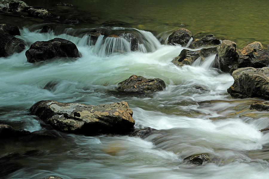
Tallulah River Georgia 1

by Richard Krebs
Title
Tallulah River Georgia 1
Artist
Richard Krebs
Medium
Photograph - Photograph
Description
The Tallulah River is a 48 mile long river beginning in Clay County, N.C. and running through the north Georgia Counties of Towns, Rabun and Habersham. From its headwaters at an elevation of 5499 feet to its confluence with the Tugaloo River it travels through mountainous northeastern Georgia and is the water source for several man-made lakes. Constructed by the Georgia Power Company Lake Burton, Lake Seed, Lake Rabun and Lake Tallulah Falls provide hydroelectric power to portions of Georgia.
The northern portion of the Tallulah River is a scenic and rugged waterway with hundreds of large boulders and rapids in its path within the riverbed. This makes for marvelous scenery as the river travels south toward its first lake, Lake Burton. The four man-made lakes at the lower end of the river are close to each other and, in addition to providing power, are wonderful and well-used recreational lakes. After the river reaches the Tallulah Falls Lake it flows through the Tallulah Gorge and ends in the Tugaloo River.
We spent a nice summer day following the river from the Tallulah Gorge almost to the North Carolina state line.
Uploaded
June 22nd, 2020
Statistics
Viewed 183 Times - Last Visitor from New York, NY on 03/30/2024 at 10:12 AM
Embed
Share
Sales Sheet


